I was looking at the map and was quite surprised there are many islands and islets surrounding the huge main island of Culion. Pastor Hermie, our guide, pointed to the map and showed our path going westward then south to this snaking river opening up to the a large bay with islets which then exits to the sea. We were going to Cabulihan Mangroves instead of the original plan to Balanga Falls and Mangroves which he honestly says is now in a really bad state. We followed his recommendation to discover the southwest side of the island.

Across the Island
The afternoon rain fell but we pushed through with our trip. Pastor Hermie took us on his motorbike and we navigated the rocky dirt road traversing east to west of the island. We saw some small villages, farms and also an air strip used by private air crafts landing on the island. Further down south we reached the mouth of the Cabulihan River. We met a family there who were transporting their Nipa Hut roofings which they sell to the mainland. We asked if we could hire their boat to take us through the Mangroves and to the bay and the, Mother, Father and son kindly obliged.

Palawan, a Mangrove Country
There are many mangrove forest found throughout the country but Palawan is considered as the Mangrove Country. Out of the 1.485 Million Hectares land area of the province about 58,400 hectares is mangrove covered, the highest concentration in the country. Presidential Proclamation 2152 declared the entire province of Palawan as a Mangrove Swamp Forest Reserve.

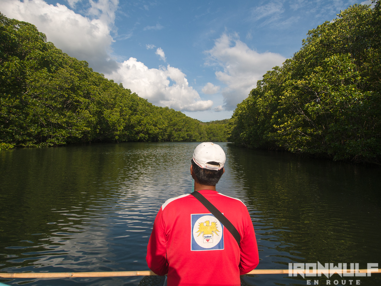
Towering Mangroves
Our boat followed through the winding river, the ride was quiet with only our voices, our boat motor and a few birds the only sound filling the air. As we got deeper, we saw really tall mangroves stretching up probably 20-30feet high and they line the river one after another. It felt like we were between two high walls. We exchanged ideas how this place would have been great for kayaking. Pastor Hermie told us that early morning and late afternoon would be the best time to go here with many birds in the area.

The Bay
We emerged from the river to a large bay with islets and a gateway to the Sulu Sea. There is a community living on the islets of this bay known for its healthy supply of crabs. We visited one of the owners of the crab farm there and he demonstrated how he manage his farm and and capturing them from his dugout canoe.
We sailed back from where we came from, it was an interesting destination to see. Pastor Hermie, who is also the manages the island’s tourism was open to our ideas on this place. I see potential here and hope to see more of it in the future.


Ferdz Decena is an award-winning travel photographer, writer and blogger. His works has found print in publications such as Singapore Airlines’s Silver Kris, Philippine Airlines’ Mabuhay, Cebu Pacific’s Smile and Seair InFlight. He has also lent his expertise to various organizations like the Oceana Philippines, Lopez Group Foundation, Save the Children and World Vision, contributing quality images for their marketing materials.