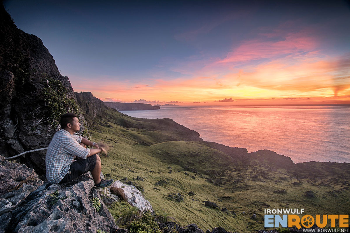
I could feel the heaviness and strain in my body already. I’ve been hiking almost daily around Batanes for the past week. My stamina is dipping. Trudging early morning on the grassy slopes of Mt Riposed in the dark, I told myself I have reached my quota for challenging tramps such as this. I deserve a pat for having finally visited Rapang Cliffs the day before. While I want to explore more, Itbayat can really drill a hole on your wallet if you’re travelling alone. While I welcome my guide, Jojo’s suggestions on other places to visit. I had limited budget. So why not end my Itbayat sojourn at the island’s highest point.
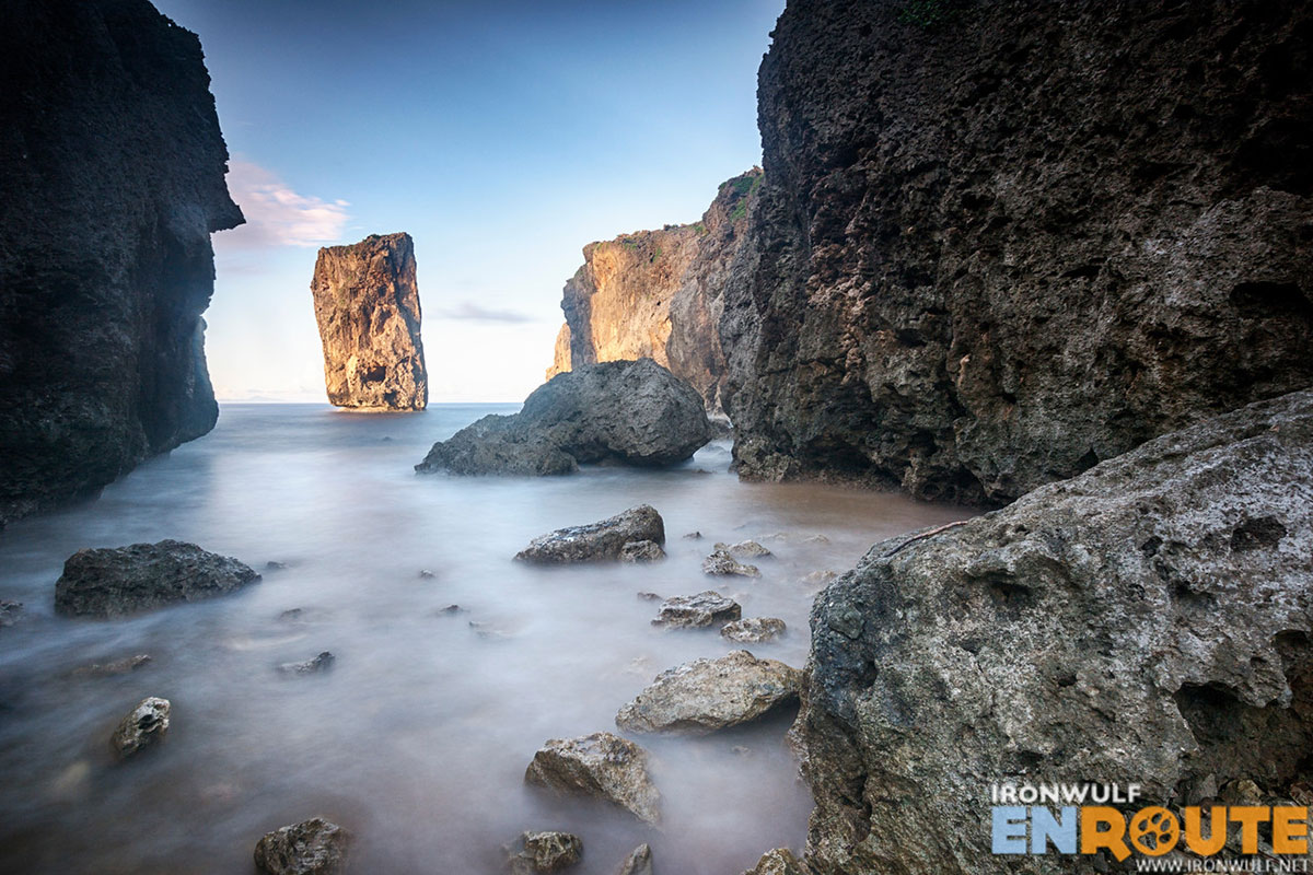
Itbayat | Hiking the slopes of Mt Riposed for Tayawun Rock