Mount Purro Nature Reserve: A Day of Yoga and Nature Commune

Summit of Malvar's Peak at Mt Purro Nature Reserve

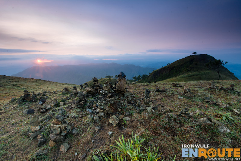
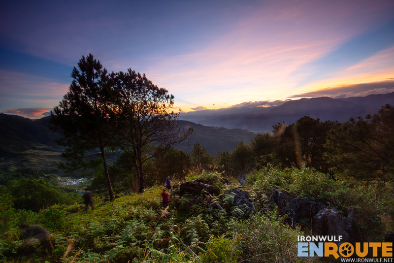
Being cooped up the the city because of limited mobility can get really weary. We all need a dose of nature once in a while. I was glad when a community of yogis in our studio decided to organize a day tour at nearby Mount Purro Nature Reserve in Calawis, Antipolo. A nature escape just a couple of hours in the metro with an added those of yoga. Enjoying a day of camaraderie on hikes, river treks and chill.

Continue Reading

Chill Hike at Mt Yangbew to Mt Kalugong

Summit view at MT Yangbew

It’s hard not to go up the Cordillera region without taking a trail or 2 (or more). We had a wonderful gathering with friends in Baguio and decided on extending my stay to enjoy more of the mountains. I’m glad my fellow mountain-lover, Christine of JovialWanderer, broached the idea of taking a leisurely hike at Mt Yangbew and Mt Kalugong in La Trinidad. I welcomed the idea of seeing more summits and trails just an hour away from Baguio proper.

Continue Reading

Penang Hill: Sunrise and Nature Walk

I wanted to end my last day in Penang with something breathtaking and worthwhile. I didn’t get my desired sunset at Kek Lok Si temple so I made sure to wake up early for the sunrise this time at Penang Hill. Hoping the odds for good light would be better. Also known as Bukit Bendera, the distinguishing peaks seen from the city of George Town is easily accessible. With only around 6km from the city center to its jump-off at Air Itam, it’s one of the favorite cool escapes for the locals and tourists alike.

Continue Reading

Luzon Datum of 1911 : At the Geodetic Center of the Philippines

Birds eye view of Luzon Datum of 1911 site

If you’ve ever wondered how the shapes of the islands, the elevation of peaks, and the depths of seas are measured and translated into easily readable maps that common people can understand, it’s all about the science of geodesy and datums. Even before Google Maps ever existed, surveyors and scientists used datums or geodetic reference points to collectively gather information on the lay of the land and sea in longitude and latitudes. That is why I had much appreciation to finally visit the Luzon Datum of 1911 site in Marinduque. A pivotal reference point used to triangulate networks of different …

Continue Reading

Mt Pulag with Peak Pursuits: Back After Almost 14 Years

Catching the sunrise at the summit of Mt Pulag

13.6 degrees centigrade according to my watch barometer. We were inside our tent. I could imagine how cold it was outside our tent hearing the unrelenting howl of the wind. It is 2:30 am and we’re at the Camp 2 of Mt Pulag, the highest mountain of Luzon and considered as the third highest in the country. I braced for the chill as I zipped open the tent door. A draft came in as I peeked outside. The sky was clear with stars jubilantly sparkling. The waning moon illuminated the landscape. “We have a clearing!” I gleefully thought. Thank god the weather was on our side and after almost 14 years, I’ll be back at the summit of Mt Pulag.

Continue Reading

Benguet | Mt Ulap Eco-Trail: A Trek Through the Clouds

At the Abanao Poaoy of the Mt Ulap Eco-Trail

Clouds have always been a thing of fascination. People climb mountains often to see the play of clouds billow across mountain peaks like waves. Dissipating in a dance from nebulous to nothingness. When I heard about the Mt Ulap Eco-Trail which recently opened last October 2015, I was intrigued. The Eco-trail is also known as the Philex Ridge, named after the huge mining company operating in the area. The highest peak, was named Mt Ulap by an engineer named “Lagman” who marked the summit in February 1, 1939. He described that the mountain is perennially a magnet for clouds (which is “ulap” in tagalog). The trail has long been a playground for trail runners from Baguio and Benguet. Now the local government, particularly the Ampucao Tourism Council opened the trail to the public.

Continue Reading

Maligcong | Mt Fato: Embracing the Wind on Rocky Grounds

Sunrise at Mt Fato Maligcong

A mountain is never the same. The looming form may remain but the trails, the ecosystem and the peak weather changes constantly. Call it moody but the micro-climate dictates whether the view from the top is cloudy or not. Such is the case when we climbed Mt Fato in Maligcong for the second time. The neighboring Mt Kupapey (Mt Kofafey) with its outstanding view of Maligcong Rice Terraces and nature trail may have grown popular to the visitors of the region but Mt Fato offers a different side of the terraces as well as the mountain peaks of Kalinga and Sagada. My first visit with Backpack Photography gave us a clear view, my return howevers was welcomed with a cold embrace from the clouds

Continue Reading